what we do
Pick to learn more about the Acampo Innovation Project
〰️
Pick to learn more about the Acampo Innovation Project 〰️

2025 – FEMA Interior Sacramento Drainage Phases 1 thru 3
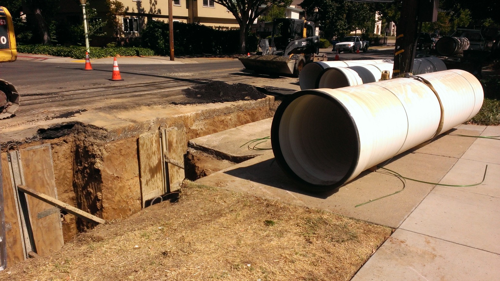
Hydraulic modeling and FEMA flood mapping was required for Levee Recertification. Project includes more than 10,000 acres and 10,000 drainage features in Sacramento including drainage basins 31, 34, 54, 91, 92, 95, 101, 103, 109, 140, 151, 152, 153, 157 & 158.
MRPE surveyed and modeled all stormwater storage and drainpipes, pumps, channels and roads that carry stormwater through these basins.
MRPE was selected as the most qualified firm to assist with one of the largest internal flood mapping efforts the city of Sacramento has undertaken in decades. Our proven system of providing more accurate and complete models was utilized for the majority of this work and will drastically improve the quality of flood information for a large swath of Sacramento.

2024 – LEAP Grant Modeling
The city utilized grant funds to promote the construction of low-income housing.
MRPE surveyed and created complete XPSWMM models for City drainage basins 102, 144, 154, 157, & 158. All 10 and 100-year deficiencies were reported.
To invest in the future development of low-income housing, the city selected MRPE and our proven process to generate accurate complete models. The models help the city and future developers assess and process related developments in these select basins faster and cheaper.

2019 – Basin 33 & 34 Drainage Masterplans
The city wanted to update old drainage masterplans for improved accuracy and completeness utilizing the system MRPE developed for Basin 129.
MRPE surveyed and performed hydraulic and hydrologic modeling, prepared, and mapped flooding. MRPE surveyed and created a complete model for Basin 34, as well as a floodplain analysis for future FIRM mapping. Basin 33 model was converted from SSWMM to XPSWMM with an updated datum. All deficiencies within both basins were identified.
Our surveying and data analysis methods were refined as we created another complete model with all conduits and field-surveyed roads. A uniquely accurate two-way dynamic stage flow hydrograph method was derived to account for back-and-forth overland releases between neighboring basins.

2017 - Basin 129 and 147 Drainage Master Plans
City wanted to create new models and master plans for these small and large basins comprising approximately 1500 acres.
MRPE surveyed and created a complete XPSWMM model for both basins. All deficiencies were identified, and alternatives were compared. Recommended CIP projects were provided including construction and long-term cost estimates.
These were the first complete City models of an existing basin to include all roads and conduits, as well as all storage outside the roadways. These were also the first models prepared for the City with all road gutter elevations field surveyed. MRPE utilized modern technology to create a system to accomplish this for about the same effort as prior approximate and incomplete models.